Sygic GPS Navigation Alternatives

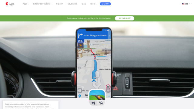
Revolutionize your travel with Sygic's augmented reality GPS navigation and advanced safety features.
MapmyIndia screenshot thumbnail

MapmyIndia

If you're looking for a Sygic GPS Navigation alternative, MapmyIndia is another option. It has a suite of products based on India's most accurate maps, including integrated navigation and connected car features. MapmyIndia's Move App, Map Portal, Move Gadgets and NaviMaps offer turn-by-turn navigation and IoT-enabled devices for consumers. The company also offers APIs and SDKs for maps, traffic, search, geocoding, routes, navigation, mobility and tracking, so developers can tap into the service.

Mapbox screenshot thumbnail

Mapbox

Another option is Mapbox, a location intelligence platform that offers APIs and SDKs for customizable maps, advanced navigation and location search. Mapbox offers features like live updating data, advanced routing engines and traffic-aware travel times. It also can incorporate custom data and offers a lot of resources for developers, so it can be used in a variety of applications, including connected navigation and smart location services.

INRIX screenshot thumbnail

INRIX

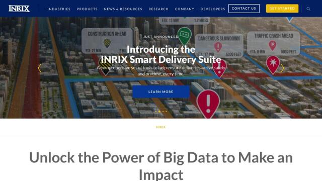
If you're looking for real-time traffic data and mobility insights, INRIX is another option. It combines rich transportation data with generative AI technology to deliver real-time traffic data, crash data and safety alerts. INRIX's suite of solutions includes INRIX IQ, INRIX Mission Control and INRIX Trip Trends, so it's a good option for urban mobility and traffic flow.

More Alternatives to Sygic GPS Navigation

Mobileye screenshot thumbnail

Mobileye

Utilizes a single, low-cost camera sensor to improve vehicle safety, enabling advanced driver-assist systems and self-driving solutions for the automotive industry.
Samsara screenshot thumbnail

Samsara

Samsara's fleet operations platform connects cameras, sensors, and workflows for faster, more confident decisions.

Driver•i screenshot thumbnail

Driver•i

Provides real-time insights into fleet operations, enabling proactive measures to prevent accidents, improve driver behavior, and optimize fleet performance.

Geotab screenshot thumbnail

Geotab

Leverage AI-driven insights and recommendations to optimize fleet operations, improve safety, and reduce emissions, while automating compliance and increasing productivity.

Cambridge Mobile Telematics screenshot thumbnail

Cambridge Mobile Telematics

Analyzes hundreds of billions of miles of driving data to provide a complete picture of vehicle and driver behavior, promoting safer driving and lower insurance rates.

Sentiance screenshot thumbnail

Sentiance

Provides real-time driving insights, crash detection, and mobility analysis to improve road safety, reduce risks, and promote sustainable transportation.

Mojio screenshot thumbnail

Mojio

Unlocks the full potential of car data monetization, providing actionable insights and services for a smarter, safer, and more convenient car ownership experience.

Omnitracs screenshot thumbnail

Omnitracs

Combines fleet management expertise with AI and machine learning to provide actionable insights, optimize business performance, and improve driver satisfaction and safety.

Routora screenshot thumbnail

Routora

Reorders stops for the most efficient route, minimizing backtracking and saving time and fuel, with easy upload and download of optimized routes.

Geoapify screenshot thumbnail

Geoapify

Build location-based apps with ease using a suite of APIs for mapping, geocoding, route optimization, and spatial analytics, with flexible pricing and no data restrictions.

PTV Group screenshot thumbnail

PTV Group

Analyze and optimize traffic infrastructure with data, AI, and machine learning to identify problems and potential improvements.

Lytx screenshot thumbnail

Lytx

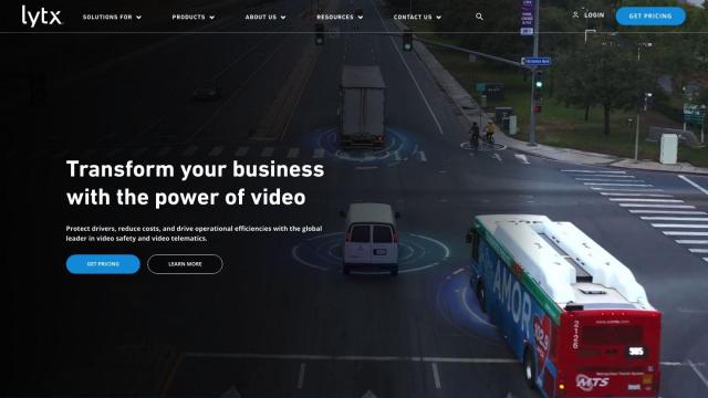
Unifies fleet management with AI-powered video safety, telematics, and compliance solutions to improve driver behavior, reduce costs, and enhance operational efficiency.

GeoZilla screenshot thumbnail

GeoZilla

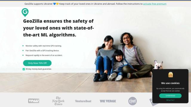
Tracks family members' locations in real-time with GPS and machine learning, providing crash detection, alerts, and safety reports to ensure their safety.

Fleet Complete screenshot thumbnail

Fleet Complete

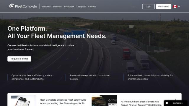
Combines telematics, GPS tracking, and AI-powered dash cameras to optimize fleet efficiency, safety, compliance, and sustainability with real-time insights and data visualizations.

Arity screenshot thumbnail

Arity

Analyzes trillions of miles of driving data to provide actionable insights for insurers, marketers, and communities, enabling personalized services and targeted solutions.

Radar screenshot thumbnail

Radar

Radar combines geofencing, geocoding, and mapping for accurate, cost-effective location-based experiences.

Mappedin screenshot thumbnail

Mappedin

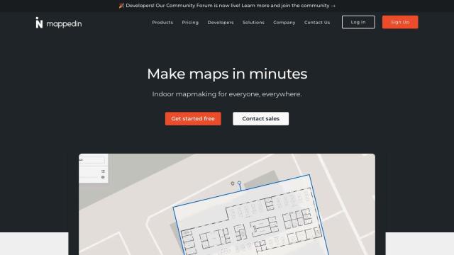
Create interactive 3D indoor maps with AI-assisted tools, automated navigation, and content enrichment, and share them across various devices and formats.

Waymo screenshot thumbnail

Waymo

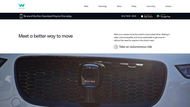
Autonomous ride-hailing service providing 24/7 convenient and safe transportation in multiple cities, with a focus on sustainability and inclusive mobility.

Cartrack screenshot thumbnail

Cartrack

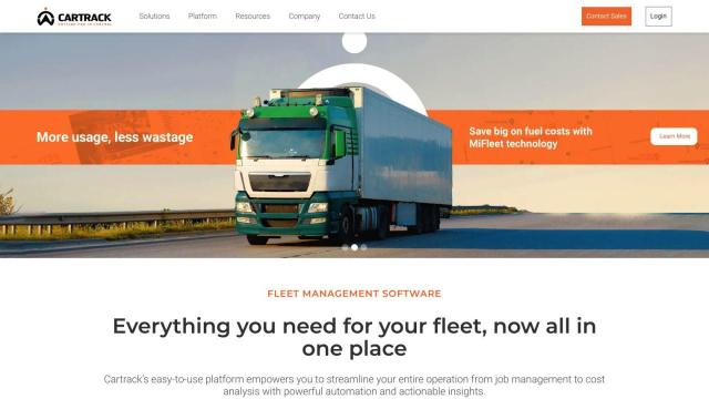
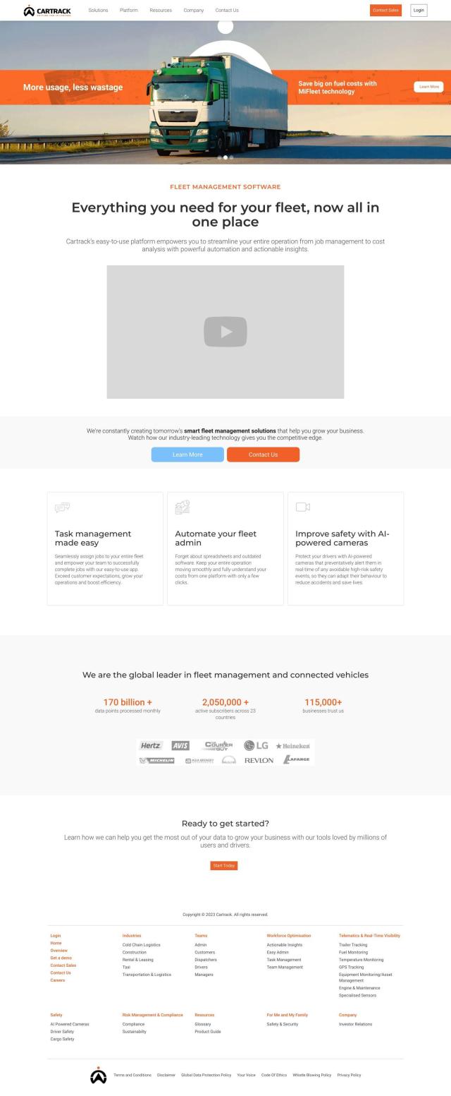
Real-time fleet management and automation platform providing data analysis, driver safety alerts, and customizable performance monitoring to optimize operations and reduce costs.

PingPath screenshot thumbnail

PingPath

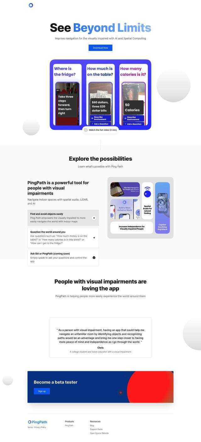
Navigates indoor spaces using spatial audio, LiDAR, and AI to identify and avoid objects, promoting independence and confidence for visually impaired individuals.

Telematica screenshot thumbnail

Telematica

Optimizes energy usage across multiple devices through a single API integration, cutting energy costs by up to 50% and increasing customer satisfaction.