Question: I need a navigation app that can help me find nearby charging stations and plan routes for my electric vehicle.

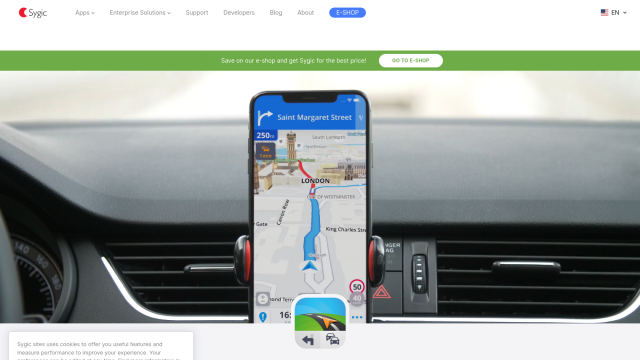
Sygic GPS Navigation screenshot thumbnail

Sygic GPS Navigation

If you're looking for a navigation app that'll help you find nearby charging stations and plot routes for your EV, Sygic GPS Navigation is a good option. The app has an Electric Vehicle Mode that includes features like finding charging stations and plotting EV-specific routes. It also has offline GPS navigation, fuel price updates and parking spot guidance, so it's a good all-purpose option for your car.

MapmyIndia screenshot thumbnail

MapmyIndia

Another good option is MapmyIndia. Although it's focused on India-specific maps, it offers integrated navigation and connected car features for vehicles. The platform offers APIs and SDKs for maps, traffic and navigation, which could be useful if you want to integrate your own charging station data or optimize EV routes. It also offers a variety of IoT-enabled devices and develops solutions for industries like automotive.

Geotab screenshot thumbnail

Geotab

Last, Geotab is a popular GPS fleet tracking and management system that offers AI-powered fleet safety and sustainability features. It's more geared for fleet management, but it offers EV analysis and route optimization, which could be useful if you want to optimize routes for your electric vehicle.

Additional AI Projects

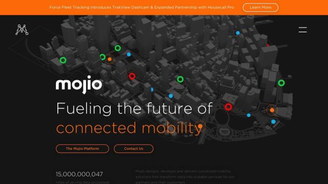
Mojio screenshot thumbnail

Mojio

Unlocks the full potential of car data monetization, providing actionable insights and services for a smarter, safer, and more convenient car ownership experience.
Mapbox screenshot thumbnail

Mapbox

Create customizable, interactive maps with live-updating data and advanced navigation features for web, mobile, automotive, and AR applications.

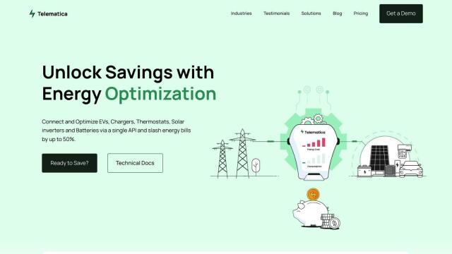
Telematica screenshot thumbnail

Telematica

Optimizes energy usage across multiple devices through a single API integration, cutting energy costs by up to 50% and increasing customer satisfaction.

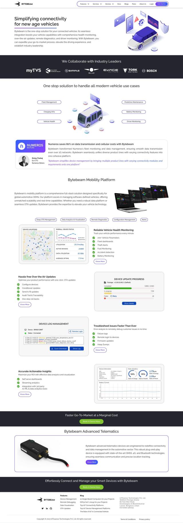
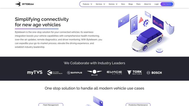
Bytebeam screenshot thumbnail

Bytebeam

Manage connected vehicles with real-time health monitoring, over-the-air updates, and remote diagnostics, accelerating go-to-market and improving the driving experience.

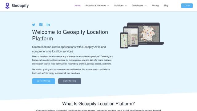
Geoapify screenshot thumbnail

Geoapify

Build location-based apps with ease using a suite of APIs for mapping, geocoding, route optimization, and spatial analytics, with flexible pricing and no data restrictions.

INRIX screenshot thumbnail

INRIX

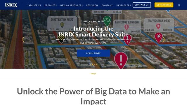
Harnesses 50 petabytes of transportation data to provide real-time traffic insights, crash alerts, and parking analytics, optimizing urban mobility and road safety.

Routora screenshot thumbnail

Routora

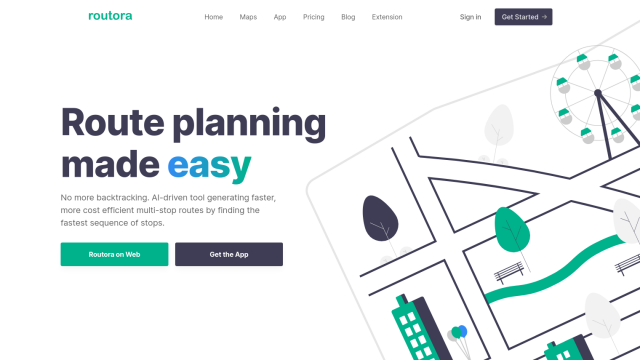
Reorders stops for the most efficient route, minimizing backtracking and saving time and fuel, with easy upload and download of optimized routes.

Radar screenshot thumbnail

Radar

Radar combines geofencing, geocoding, and mapping for accurate, cost-effective location-based experiences.

Omnitracs screenshot thumbnail

Omnitracs

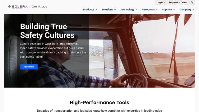
Combines fleet management expertise with AI and machine learning to provide actionable insights, optimize business performance, and improve driver satisfaction and safety.

Mobileye screenshot thumbnail

Mobileye

Utilizes a single, low-cost camera sensor to improve vehicle safety, enabling advanced driver-assist systems and self-driving solutions for the automotive industry.

Esri screenshot thumbnail

Esri

Uncover hidden patterns and drive predictive modeling with spatial analytics and machine learning, combining location-based data for innovative insights.

Electricity Maps screenshot thumbnail

Electricity Maps

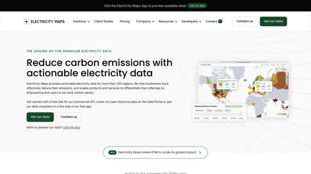
Access real-time, historical, and forecasted carbon intensity data for 230+ regions to inform energy decisions and reduce carbon footprint.

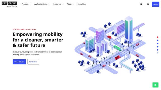
PTV Group screenshot thumbnail

PTV Group

Analyze and optimize traffic infrastructure with data, AI, and machine learning to identify problems and potential improvements.

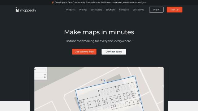
Mappedin screenshot thumbnail

Mappedin

Create interactive 3D indoor maps with AI-assisted tools, automated navigation, and content enrichment, and share them across various devices and formats.

Samsara screenshot thumbnail

Samsara

Samsara's fleet operations platform connects cameras, sensors, and workflows for faster, more confident decisions.

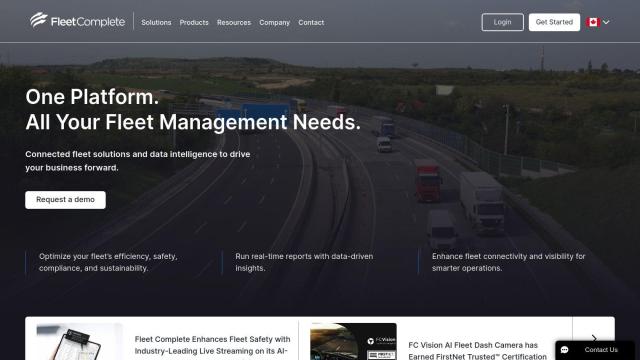
Fleet Complete screenshot thumbnail

Fleet Complete

Combines telematics, GPS tracking, and AI-powered dash cameras to optimize fleet efficiency, safety, compliance, and sustainability with real-time insights and data visualizations.

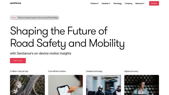
Sentiance screenshot thumbnail

Sentiance

Provides real-time driving insights, crash detection, and mobility analysis to improve road safety, reduce risks, and promote sustainable transportation.

CARTO screenshot thumbnail

CARTO

Analyze and visualize spatial data at any scale with native cloud integration, intuitive drag-and-drop interface, and built-in GenAI capabilities.

Cambridge Mobile Telematics screenshot thumbnail

Cambridge Mobile Telematics

Analyzes hundreds of billions of miles of driving data to provide a complete picture of vehicle and driver behavior, promoting safer driving and lower insurance rates.

Avride screenshot thumbnail

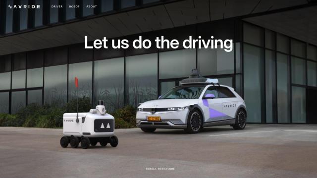
Avride

Enables safe and efficient transportation with precise positioning, resilient perception, versatile forecasting, and intelligent navigation for autonomous vehicles and robots.

Mindtrip screenshot thumbnail

Mindtrip

Get personalized travel recommendations based on your preferences, and organize your plans in one place with collaborative tools and customizable itineraries.