Question: I'm looking for a GPS fleet tracking system that can help me optimize my fleet's operations and reduce costs.

Geotab screenshot thumbnail

Geotab

If you're looking for a GPS fleet tracking system to optimize operations and cut costs, Geotab could be a great option. Geotab combines AI and data intelligence to provide actionable insights, helping fleets improve productivity, safety and sustainability. With features like fuel consumption tracking, route optimization and AI-powered fleet safety, Geotab can help you automate processes, cut costs and make data-driven decisions. The platform integrates with third-party hardware and software, so it can be easily integrated with your existing systems.
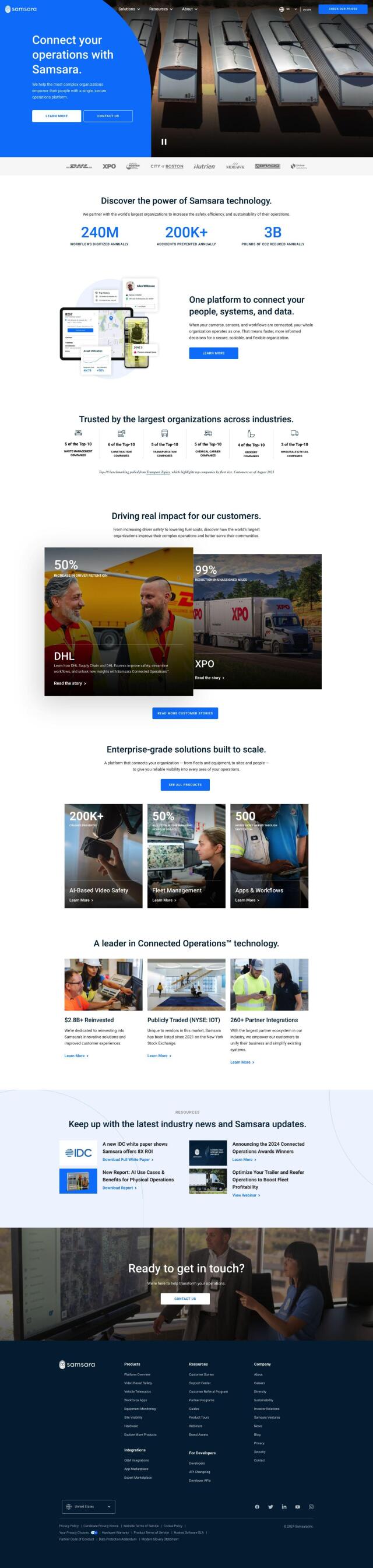
Samsara screenshot thumbnail

Samsara

Another powerful option is Samsara, which offers a fleet operations platform. It combines AI-powered dash cams, real-time GPS, telematics, maintenance, routing and a driver app to improve safety, efficiency and sustainability. Samsara's platform is designed to scale with your business, offering enterprise-scale solutions that can be integrated with your existing systems. This makes it a good option for large companies in the construction, field services and transportation industries.
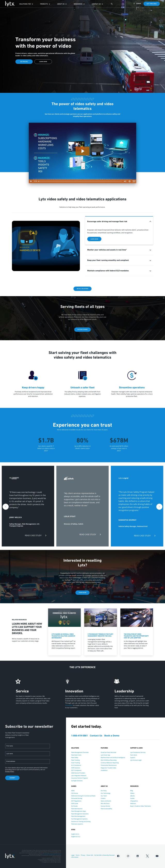
Lytx screenshot thumbnail

Lytx

If you're looking for a system that focuses on improving driver safety and efficiency, check out Lytx. Lytx offers an end-to-end fleet management system that includes advanced dash cam technology with AI, electronic logging devices and real-time monitoring and alerts. The platform helps fleets meet compliance requirements and lower claims and fuel costs, making it a good option for fleets that want to improve overall performance and safety.

Omnitracs screenshot thumbnail

Omnitracs

Last, Omnitracs offers a platform that combines 35+ years of transportation expertise with AI and machine learning to improve driver satisfaction, safety and business performance. Its features include driver workflow applications, safety and security measures, routing and dispatching tools, and data analytics. Omnitracs automates driver workflows, ensures compliance and optimizes routes, which can result in substantial cost savings and performance improvements.

Additional AI Projects

Motive screenshot thumbnail

Motive

Optimizes fleet management across safety, maintenance, and spend with AI-powered automation, providing 360° visibility and real-time insights to increase efficiency and profitability.

Mojio screenshot thumbnail

Mojio

Unlocks the full potential of car data monetization, providing actionable insights and services for a smarter, safer, and more convenient car ownership experience.

Cambridge Mobile Telematics screenshot thumbnail

Cambridge Mobile Telematics

Analyzes hundreds of billions of miles of driving data to provide a complete picture of vehicle and driver behavior, promoting safer driving and lower insurance rates.

DispatchTrack screenshot thumbnail

DispatchTrack

AI-optimized routes and real-time order tracking improve last-mile delivery customer satisfaction, promising speed, precision, and personalized experiences.

Bytebeam screenshot thumbnail

Bytebeam

Manage connected vehicles with real-time health monitoring, over-the-air updates, and remote diagnostics, accelerating go-to-market and improving the driving experience.

Uber Freight screenshot thumbnail

Uber Freight

Provides real-time visibility and AI-optimized decision-making to modernize supply chains, enabling data-driven operations and optimized logistics solutions.

Solera screenshot thumbnail

Solera

Automates claims processes with AI-powered workflows, streamlining vehicle management and maintenance through integrated software solutions.

Shipsy screenshot thumbnail

Shipsy

Optimizes end-to-end logistics and supply chain operations with automated route planning, freight procurement, and shipment tracking for improved efficiency and cost reduction.

Routora screenshot thumbnail

Routora

Reorders stops for the most efficient route, minimizing backtracking and saving time and fuel, with easy upload and download of optimized routes.

Sentiance screenshot thumbnail

Sentiance

Provides real-time driving insights, crash detection, and mobility analysis to improve road safety, reduce risks, and promote sustainable transportation.

INRIX screenshot thumbnail

INRIX

Harnesses 50 petabytes of transportation data to provide real-time traffic insights, crash alerts, and parking analytics, optimizing urban mobility and road safety.

Urbantz screenshot thumbnail

Urbantz

Optimizes last mile logistics with AI-driven route planning, real-time delivery slots, and multi-carrier management to increase successful deliveries and customer satisfaction.

MapmyIndia screenshot thumbnail

MapmyIndia

Seamlessly navigate and optimize last-mile operations with integrated navigation, route planning, and location intelligence solutions powered by India's best maps.

Mobileye screenshot thumbnail

Mobileye

Utilizes a single, low-cost camera sensor to improve vehicle safety, enabling advanced driver-assist systems and self-driving solutions for the automotive industry.

Turing AI screenshot thumbnail

Turing AI

Intelligently search video feeds with advanced capabilities, receive real-time alerts, and share clips instantly to enhance safety and security operations.

Polymath Robotics screenshot thumbnail

Polymath Robotics

Simplifies autonomous navigation for industrial off-highway vehicles, enabling easy automation without extensive robotics expertise.

ZORP screenshot thumbnail

ZORP

Centralizes facilities and asset maintenance data, automating tasks and resolving bottlenecks to reduce errors and delays in complex supply chains and field operations.

Spot AI screenshot thumbnail

Spot AI

Turns video into actionable insights, improving safety and operations with AI-powered search, alerts, and collaboration tools for informed decision-making.

MaintainX screenshot thumbnail

MaintainX

Optimizes asset maintenance with AI-driven scheduling, automated triggers, and customizable dashboards to minimize downtime and maintenance costs.

Radar screenshot thumbnail

Radar

Radar combines geofencing, geocoding, and mapping for accurate, cost-effective location-based experiences.