Question: I'm looking for a fleet management system that provides geofencing and location history features.

Geotab screenshot thumbnail

Geotab

If you're in the market for a fleet management system with geofencing and location history, Geotab is a top contender. Geotab's AI-powered fleet safety, fleet optimization, sustainability and compliance automation solutions can help you better manage your fleet. Its GPS fleet tracking and management system can be integrated with third-party hardware and software and is designed to scale to any size fleet. The platform can help you reduce costs, improve safety, increase sustainability and make data-driven decisions, and it's a trusted and comprehensive solution with more than 50,000 customers around the world.

Radar screenshot thumbnail

Radar

Another powerful contender is Radar, which offers geofencing, geocoding and mapping with a focus on accuracy, privacy and developer experience. Radar offers hyper-accurate geofencing with unlimited geofences and polygon geofences, as well as trip tracking and live ETAs. The platform also integrates with popular tools like Segment, Amplitude and Braze, and offers enterprise-grade privacy and security with SOC 2 type II certification and GDPR compliance.
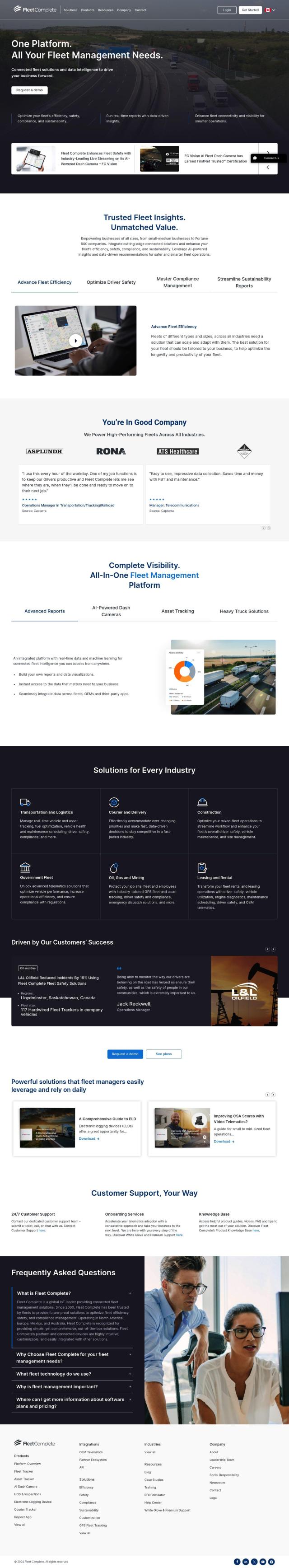
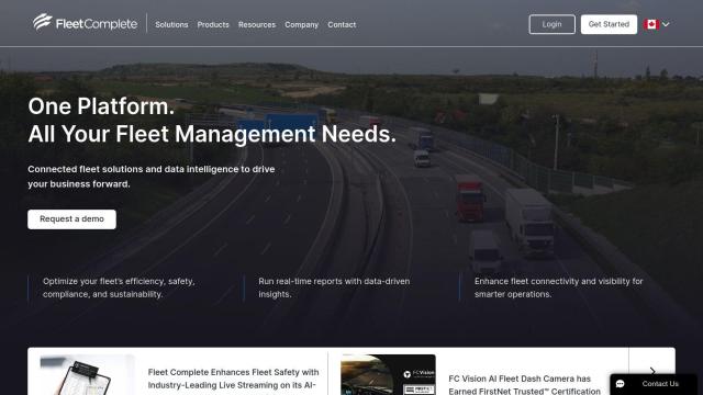
Fleet Complete screenshot thumbnail

Fleet Complete

For a more comprehensive platform with real-time reporting and data visualization, you might want to check out Fleet Complete. It combines connected fleet solutions with data intelligence to help you optimize fleet efficiency, safety, compliance and sustainability. Fleet Complete offers AI-powered dash cameras, customizable asset tracking and heavy truck solutions, and it integrates with OEMs and third-party apps to give you a single view of fleet operations. The platform is used by a variety of industries, including transportation and logistics, construction and government fleets, and helps businesses make data-driven decisions and improve overall efficiency.
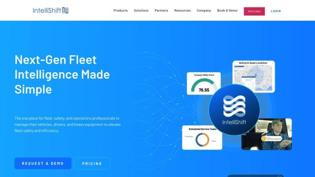
IntelliShift screenshot thumbnail

IntelliShift

If you're looking for a single, user-friendly interface for a wide range of fleet management features, IntelliShift could be a good fit. It combines telematics, AI dash cams, inspections, compliance and maintenance solutions. IntelliShift offers GPS fleet tracking, asset tracking, maintenance management and compliance management, with AI-based analytics for data-driven insights. It's a good option for companies trying to reduce safety incidents, fuel costs and insurance expenses while streamlining fleet maintenance and management tasks.

Additional AI Projects

Driver•i screenshot thumbnail

Driver•i

Provides real-time insights into fleet operations, enabling proactive measures to prevent accidents, improve driver behavior, and optimize fleet performance.

Lytx screenshot thumbnail

Lytx

Unifies fleet management with AI-powered video safety, telematics, and compliance solutions to improve driver behavior, reduce costs, and enhance operational efficiency.

Teletrac Navman screenshot thumbnail

Teletrac Navman

Unify fleet operations with a single platform, tracking and optimizing vehicles, equipment, and drivers in real-time, improving safety, efficiency, and performance.

ClearPathGPS screenshot thumbnail

ClearPathGPS

Gain real-time visibility into fleet operations, tracking vehicles and assets, and receive actionable insights to reduce costs and improve ROI.

Cartrack screenshot thumbnail

Cartrack

Real-time fleet management and automation platform providing data analysis, driver safety alerts, and customizable performance monitoring to optimize operations and reduce costs.

Samsara screenshot thumbnail

Samsara

Samsara's fleet operations platform connects cameras, sensors, and workflows for faster, more confident decisions.

Motive screenshot thumbnail

Motive

Optimizes fleet management across safety, maintenance, and spend with AI-powered automation, providing 360° visibility and real-time insights to increase efficiency and profitability.

Softruck screenshot thumbnail

Softruck

Monitor assets in real-time, set up intelligent alerts, and optimize fleet operations with geofence, location, history, and reporting features.

Omnitracs screenshot thumbnail

Omnitracs

Combines fleet management expertise with AI and machine learning to provide actionable insights, optimize business performance, and improve driver satisfaction and safety.

Trackunit screenshot thumbnail

Trackunit

Connects people, machines, and processes to minimize downtime, optimize operations, and increase productivity in the construction industry.

Mojio screenshot thumbnail

Mojio

Unlocks the full potential of car data monetization, providing actionable insights and services for a smarter, safer, and more convenient car ownership experience.

Bytebeam screenshot thumbnail

Bytebeam

Manage connected vehicles with real-time health monitoring, over-the-air updates, and remote diagnostics, accelerating go-to-market and improving the driving experience.

DispatchTrack screenshot thumbnail

DispatchTrack

AI-optimized routes and real-time order tracking improve last-mile delivery customer satisfaction, promising speed, precision, and personalized experiences.

CarbonReach screenshot thumbnail

CarbonReach

Combines device, location, network, and behavior data to predict future risks, providing a comprehensive view of network activity for targeted security action.

Bluedot screenshot thumbnail

Bluedot

Empowers apps to send targeted messages and automate tasks with 20x accurate location detection, down to five meters, for seamless customer experiences.

SmartDrive screenshot thumbnail

SmartDrive

Video-based safety platform providing insights into driver performance, identifying risky behaviors, and optimizing transportation data to reduce collisions and operating costs.

Sygic GPS Navigation screenshot thumbnail

Sygic GPS Navigation

Revolutionize your travel with Sygic's augmented reality GPS navigation and advanced safety features.

Mapbox screenshot thumbnail

Mapbox

Create customizable, interactive maps with live-updating data and advanced navigation features for web, mobile, automotive, and AR applications.

Esri screenshot thumbnail

Esri

Uncover hidden patterns and drive predictive modeling with spatial analytics and machine learning, combining location-based data for innovative insights.

FlyPix screenshot thumbnail

FlyPix

Detect, localize, track, and monitor objects across industries with advanced AI models, generating actionable, geo-referenced insights from complex imagery.