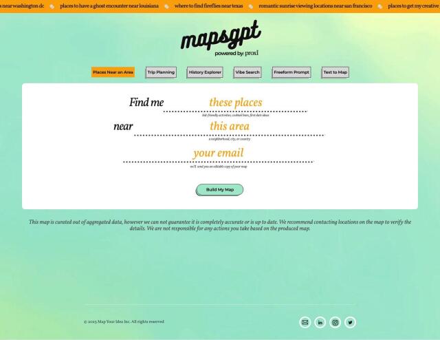
Question: Is there a way to automatically extract locations from news articles and create interactive maps?
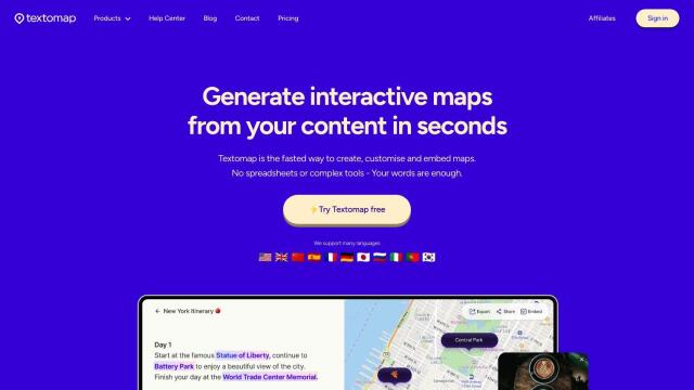

Textomap
Textomap is a good option for the job. It uses AI technology to extract locations from text-based content and lets you create, customize and embed interactive maps. The service works with multiple languages and lets you export data in CSV and Google Maps formats, among other options. It's good for schools, content publishers, bloggers, travel agencies and news sites.


Mapbox
Another powerful option is Mapbox, a location intelligence platform that offers APIs and SDKs for custom maps. It's got sophisticated navigation, location search and live-updating data. Mapbox supports global data sets and can handle your own data, too, so you can optimize performance and workflow. Industry heavyweights use Mapbox for tasks like connected navigation and data analysis.


CARTO
If you want a broader spatial data analysis and visualization option, CARTO is a cloud-native location intelligence platform. It lets you analyze, visualize and build applications with spatial data at scale, with an intuitive drag-and-drop interface and more than 100 pre-built analysis components. CARTO is good for companies that want to tap into spatial analytics and visualization for business insights and decision making.