Question: Is there a data analytics platform that supports geospatial mapping and anomaly detection?

OpenSearch
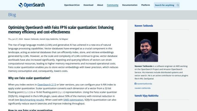
If you're looking for a data analytics platform that can handle geospatial mapping and anomaly detection, OpenSearch is a good option. It's an open-source project with a lot of features, including geospatial indexing, alerting and anomaly detection. It's highly extensible and supports high availability, so it's a good fit for enterprise use. OpenSearch also comes with tools like OpenSearch Dashboards and Data Prepper to make your life easier.


CARTO
Another good option is CARTO, a cloud-native location intelligence platform that's good for spatial data analysis and visualization. It can be integrated directly with major cloud platforms and has a drag-and-drop interface. CARTO comes with 100+ pre-built analysis components and can tap into more than 12,000 geospatial data sources through its Data Observatory, making it a good option for business insights and decision-making.


Esri
Esri is also a good option, in particular if you need heavy-duty GIS mapping and spatial analytics. Its platform includes features like 3D visualization, location intelligence and machine learning that can run in the cloud or on-premise. Esri is good for many industries, including retail, supply chain optimization and infrastructure planning.


